

Make your own path! Explore our extensive systems of hiking and biking trails for all levels of experience. From Dolly Sods to North Fork Mountain, you’re sure to find your piece of nature in Grant County.

Monongahela National Forest
The Monongahela National Forest is an expansive 921,000 acres in the east-central part of West Virginia. First established in 1920, the forest provides places to hike, bike, ride horseback, swim, fish, and do just about any other outdoor activity you can think of. The national forest has more than 800 miles of trails, with nearly 20 designated hiking trails at Spruce Knob alone.

North Fork Mountain Trail
The North Fork Mountain Trail which is approximately 24 miles long is ideal for a 2 to 3-day backpacking trip that is full of wildlife and amazing scenery.

Dolly Sods
The views are amazing as well as the rock formations- great for the family and your best furry friends! Check the link above or below for more trails and other interesting facts! For a detailed map of Dolly Sods and other trails stop by the Visitor's Information Center at the South Side Depot.
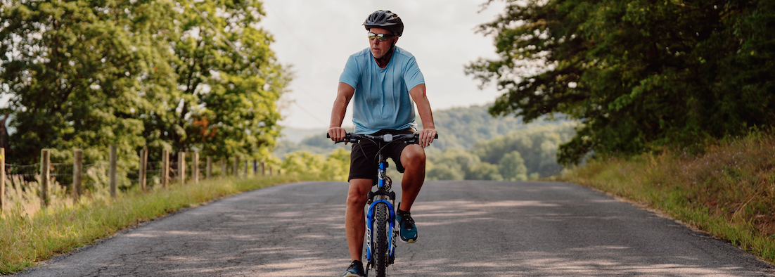
Epic Bike Rides

Road Rides
From Petersburg, take Route 42 North for 4 miles, turn right on Patterson Creek Road for 7 miles, turn left to park in Forman Center parking lot. Suggested rides form here are:
West to Knobley Road - 10 miles / 1,000 ft. climb.
West to New Creek Mountain - 15 miles / 2,000 ft. climb
West to Route 95, Scherr - 20 miles / 3,000 ft. climb
East to Moorefield - 25 miles / 4,000 ft. climb
West to Route 42, Mt. Storm - 30 miles / 5,000 ft. climb

Scenic Rides
From Petersburg, take Route 220 South for 9 miles, turn right on Smoke Road, and park in front of old bridge. Suggested rides form here are:
West to Shreve Store - 10 miles / 1,000 ft. climb.
West to Big Bend Campground - 15 miles / 800 ft. climb. For off-road bikes.
West (one-way) thru Smokes to Route 28 - 17 miles / 2,500 ft. climb. Parking available along Smoke Hole Road.
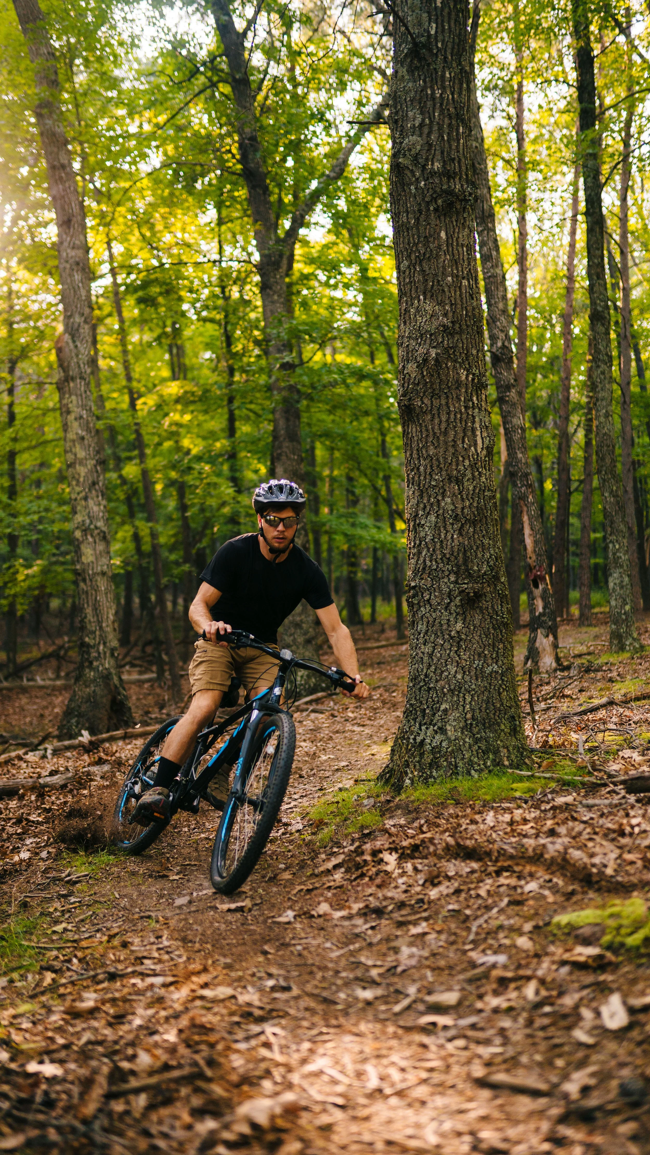
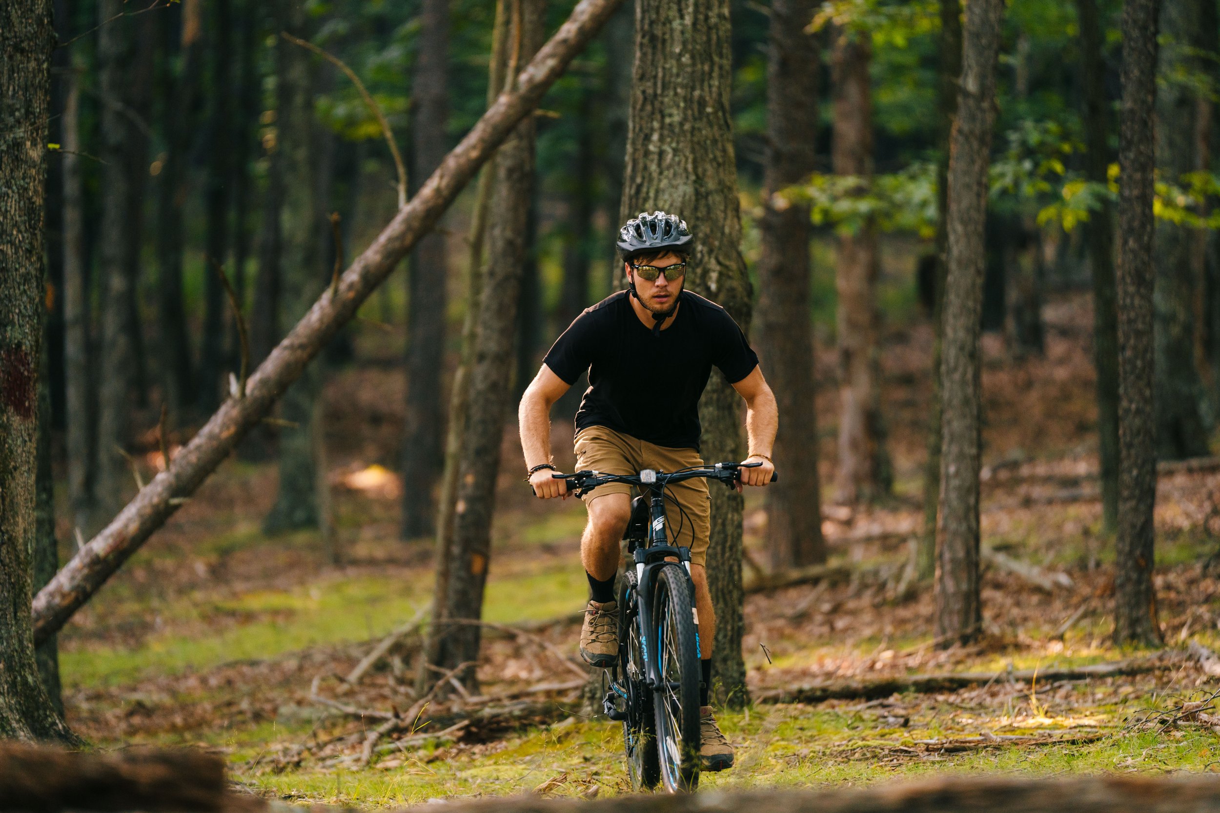
Adventure Rides
Typically, the North Fork Mountain Trail is tackled using a shuttle and ridden from the South end (off WV33) to the North end (at Smoke Hole Rd.). The southern start is at a WV33 hairpin that crests the ridge. There is room for a few cars on the roadside.
Plan at least 4 hours to ride the trail. At the Northern exit (Smoke Hole Rd.) the trailhead is marked and has designated parking. As a shuttle, the 23-mile North Fork is no minor undertaking. But if you like to mix road with your dirt, and you are up for doubling the challenge, you can park at the Visitor center and ride a loop. Ride WV33 to access the trail. Then exit the trail by taking a left on Smoke Hole Rd. and return to the Visitor center by taking a left on WV28. Additionally, there are two short trails (Redman Run and Landis) off Smoke Hole Rd. for shorter loops.
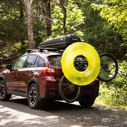
Bike Trail Map
Download a map of road biking trails to and from Petersburg.